Phil Konstantin's Panorama Photographs - Page 6
Utah #4: Zion and Misc.
I love to take photographs. Over the years (I've had a website since 1996), I have literally posted tens of thousands of my photos online. I also enjoy merging individual photos into panoramas. Long before the internet and digital photography, I used to do this. My living room has several large groups of photos which were literally "cut and pasted" together to form one long photo. Digitally, some of these conversions have worked well, some have not. I have used a variety of software to construct my panoramas: including PhotoImpact, Photoshop and a variety of stand alone Panorama software. Currently, I am in the process of finding all of my panoramas and posting them on one, all-inclusive, website (this one). Roughly, the photos are sorted alphabetically, by US state, then country (Guatemala and Mexico), and finally, San Diego California.
Each group below will have the individual photos on the left, and the panoramic photos I made from them on the right.
Click on any of the pictures (individuals or panoramas) to see a MUCH LARGER version of it.
Zion National Park |
Zion National Park |


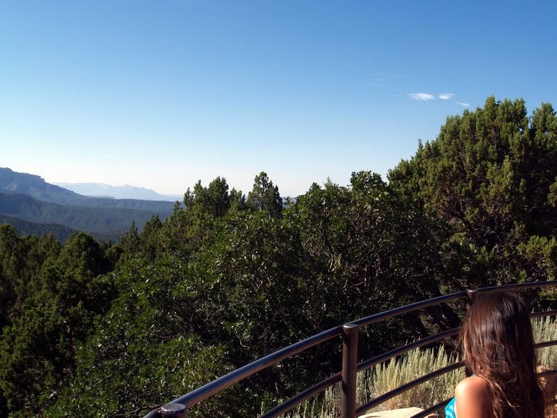
5 photo panorama |
 Zion National Park - Kolob Section - Utah - August 6, 2009 Click here to see the rest of the photos of this area |


7 photo panorama |
 Zion National Park - Kolob Section - Utah - August 6, 2009 Click here to see the rest of the photos of this area |


4 photo panorama |
 Zion National Park - Big Bend Shuttle Stop - Main Section - Utah - August 6, 2009 Click here to see the rest of the photos of this area |


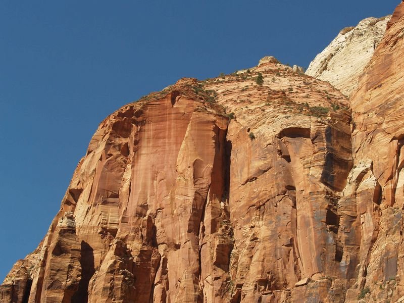
11 photo panorama |
 Great White Throne - Zion National Park - Main Section - Utah - August 6, 2009 Click here to see the rest of the photos of this area |


17 photo panorama - I think this is the largest panorama I have ever done. |
 Zion National Park - August 2009 - LARGE  Zion National Park - August 2009 - VERY LARGE Click here to see the rest of the photos of this area |


8 photo overlaying panorama |
 Zion National Park - Giant Arch - August 2009  Zion National Park - Giant Arch - August 2009 Click here to see the rest of the photos of this area |
  
3 photo panorama |
 Zion National Park - Cable Mountain - August 2009 Click here to see the rest of the photos of this area |


2 photo panorama |
 Zion National Park - October 10, 2007 - 212kb photo Click here to see the rest of the photos of this area |


3 photo panorama |
 Zion National Park - October 10, 2007 - 243kb photo Click here to see the rest of the photos of this area |


5 photo panorama |
 Zion National Park from an Airplane- October 10, 2007 - 150kb photo Click here to see the rest of the photos of this area |
Utah Miscellaeous |
Utah Miscellaneous |


2 photo panorama |
 Coral Pink San Dunes Park - Utah - August 2009 Click here to see the rest of the photos of this area |


7 photo panorama |
 Coral Pink San Dunes Park - Utah - August 2009 Click here to see the rest of the photos of this area |


7 photo panorama |
 Coral Pink San Dunes Park From an Airplane - Kanab Utah is in the foreground - October 10, 2007 Click here to see the rest of the photos of this area |


16 photo panorama |
 Panorama of the interesting geology south of Zion National Park near Hurricane, Utah. - August 2009 Click here to see the rest of the photos of this area |


3 photo panorama |
|


7 photo panorama |
 St. George Petroglyphs - Anazasi Ridge - Tempi'po'op Trail - Santa Clara River Reserve - Utah _ August 2009 Click here to see the rest of the photos of this area |


10 photo panorama |
 "Mountain Meadows Massacre" site Utah - Augost 2009 Click here to see the rest of the photos of this area |


4 photo panorama |
|


8 photo panorama |
 6.0mb panorama Sunstone Knoll (south of Delta) - August 2008 |


3 photo panorama |
 Topaz War Relocation Center Also known as the Topaz Internment Camp - Per Wikipedia: "It was a camp which housed Nikkei -- Americans of Japanese descent and immigrants who had come to the United States from Japan. There were a number of such camps used during the Second World War, under the control of the War Relocation Authority." Utah - 2008 Click here to see the rest of the photos of this area |


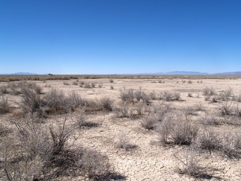
2 photo panorama |
 Dry lake northwest of Parowan, Utah - October 10, 2007 1.9 mb photo |


4 photo panorama |
 Granite Peak west of Beaver - October 10, 2007 3.1 mb photo |


4 photo panorama |
 Nine Mile Canyon Petroglyph Panel - 2006 - 4.1mb photo |


2 photo panorama |
 Sevier Lake (center) and Cricket Mountains from an Airplane - October 10, 2007 - 107kb photo Click here to see the rest of the photos of this area |


3 photo panorama |
 Sevier Lake from an Airplane- October 10, 2007 - 107kb photo Click here to see the rest of the photos of this area |

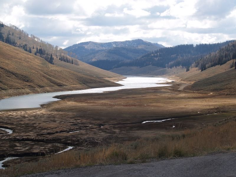
2 photo panorama |
 Electric Lake area, Highway 264 - October 14, 2007 - 123kb photo Click here to see the rest of the photos of this area |


5 photo panorama |
 Red Fleet Dinosaur Trackway - The storm starts to move in & the temperatures go down quickly - October 13, 2007 - 284kb photo Click here to see the rest of the photos of this area |


2 photo panorama |
 Bridal Veil Falls is located east of Oren, Utah on Highway 189 - October 12, 2007 - 215kb photo Click here to see the rest of the photos of this area |

3 photo panorama |
 Bridal Veil Falls is located east of Oren, Utah on Highway 189 - October 12, 2007 - 223kb photo Click here to see the rest of the photos of this area |


Panoramic Photo Pages Index
This site was last updated on October 6, 2014.
Panorama Photos Page 1 -
Arizona
Panorama Photos Page 2 -
California - Colorado - D.C. - Idaho - Montana - Nevada
Panorama Photos Page 3 -
New Mexico - Oklahoma - Oregon - Texas - Utah #1 (Misc.)
Panorama Photos Page 4 -
Utah #2 (Arches, Goblin Valley, Black Dragon)
Panorama Photos Page 5 -
Utah #3 (Dinosaur Nat. Mon., Mt. Nebo, Bryce)
Panorama Photos Page 6 -
Utah #4 (Zion, Misc.)
Panorama Photos Page 7 -
Washington - Wyoming - Guatemala: Tikal
Panorama Photos Page 8 -
Mexico: Edzna, Kabah, Sayil, Mitla, Mt. Alban, Palenque, Yaxchilan, and more
Panorama Photos Page 9 -
San Diego: Downtown - Various Buildings - Boats
Panorama Photos Page 10 -
San Diego: Mountains and Hills
Panorama Photos Page 11 -
San Diego: Golf Courses, Country Clubs and Parks
Panorama Photos Page 12 -
San Diego: Tijuana and the US-Mexico Border - Miscellaneous
Panorama Photos Page 13 -
San Diego: Bays and Lagoons - Lakes and Reservoirs
Panorama Photos Page 14 -
San Diego: Airplanes and Airports
Panorama Photos Page 15 -
San Diego: Schools and Museums
Panorama Photos Page 16 -
Miscellaneous or Unsorted
- - -
I also have over 3,600 panoramic photos from my 2016-2017 travels across the United States. Use this link to see them -
since September 4, 2005