Phil Konstantin's Panorama Photographs - Page 1
Arizona
I love to take photographs. Over the years (I've had a website since 1996), I have literally posted tens of thousands of my photos online. I also enjoy merging individual photos into panoramas. Long before the internet and digital photography, I used to do this. My living room has several large groups of photos which were literally "cut and pasted" together to form one long photo. Digitally, some of these conversions have worked well, some have not. I have used a variety of software to construct my panoramas: including PhotoImpact, Photoshop and a variety of stand alone Panorama software. Currently, I am in the process of finding all of my panoramas and posting them on one, all-inclusive, website (this one). Roughly, the photos are sorted alphabetically, by US state, then country (Guatemala and Mexico), and finally, San Diego California.
Each group below will have the individual photos on the left, and the panoramic photos I made from them on the right.
Click on any of the pictures (individuals or panoramas) to see a MUCH LARGER version of it.
Arizona |
Arizona |


4 photo panorama |
 "Adah Aho' doo' nili - Two Fell Off" - Canyon de Chelley - Navajo Reservation - Arizona - August 20, 2008 Click here to see the rest of the photos of this area |


4 photo panorama |
 "Adah Aho' doo' nili - Two Fell Off" 2 - Canyon de Chelley - Navajo Reservation - Arizona - August 20, 2008 Click here to see the rest of the photos of this area |


5 photo panorama |
 "House Under The Rock" or "Mummy Cave" - Canyon de Chelley - Navajo Reservation - Arizona - August 20, 2008 Click here to see the rest of the photos of this area |


4 photo panorama |
 Spider Rock area - Canyon de Chelley - Navajo Reservation - Arizona - August 20, 2008 Click here to see the rest of the photos of this area |


4 photo panorama |
 Spider Rock - Canyon de Chelley - Navajo Reservation - Arizona - August 20, 2008 Click here to see the rest of the photos of this area |


7 photo panorama |
 White House - Canyon de Chelley - Navajo Reservation - Arizona - August 20, 2008 Click here to see the rest of the photos of this area |


4 photo panorama |
 Grand Falls Of The Little Colorado River - Navajo Reservation - Arizona - August 19, 2008 Click here to see the rest of the photos of this area |


5 photo panorama |
 Grand Falls Of The Little Colorado River - Navajo Reservation - Arizona - August 19, 2008 Click here to see the rest of the photos of this area |


3 photo panorama |
 Grand Falls Of The Little Colorado River - Navajo Reservation - Arizona - August 19, 2008 Click here to see the rest of the photos of this area |


4 photo panorama |
 Sedona, Arizona - by the airport - August 19, 2008 Click here to see the rest of the photos of this area |


7 photo panorama |
 Sedona, Arizona - by the airport - August 19, 2008 Click here to see the rest of the photos of this area |


3 photo panorama |
 Sedona, Arizona - by the airport - August 19, 2008 Click here to see the rest of the photos of this area |


5 photo panorama |
 Sedona, Arizona - by the airport - August 19, 2008 Click here to see the rest of the photos of this area |


6 photo panorama |
|


3 photo panorama |
|


6 photo panorama |
|


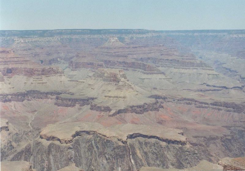


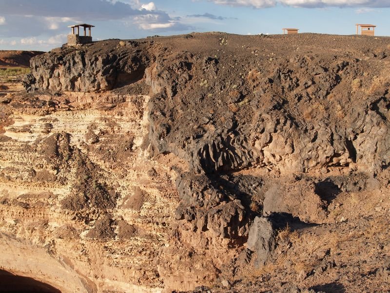
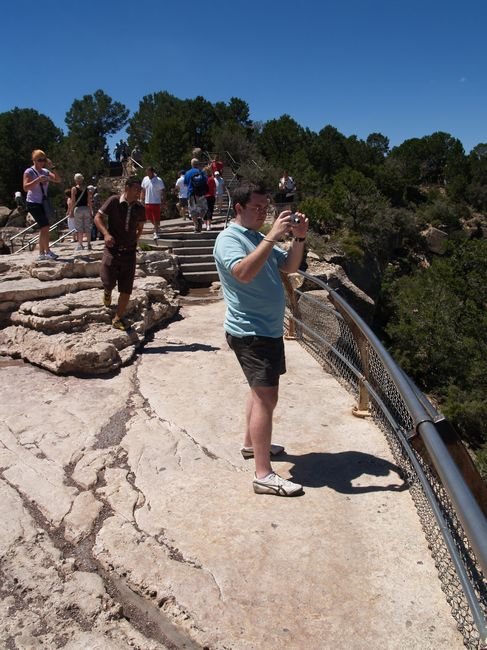
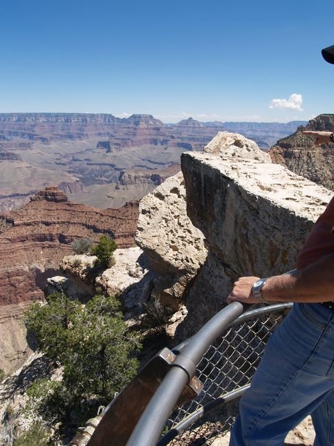
11 photo panorama |
 A full 360 degree panorama of the Grand Canyon taken in 1992 at Hopi Point or Mohave Point. Click here to see the rest of the photos of this area |


7 photo panorama |
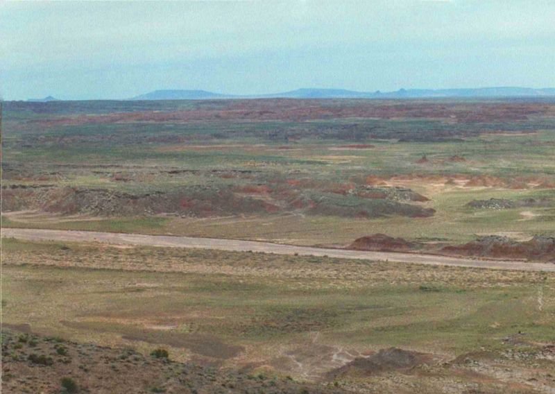
 1994 photos of the Painted Desert and Petrified Forest in Arizona - Click here to see the rest of the photos of this area |


9 photo panorama |
 1994 photos of the Painted Desert and Petrified Forest in Arizona - Click here to see the rest of the photos of this area |


11 photo panorama |
 1994 photos of the Painted Desert and Petrified Forest in Arizona - Click here to see the rest of the photos of this area |


4 photo panorama |
 1.1mb panorama Unusual marking in the desert - Southwest of Theba, south of I-8, west of Hwy 85 - October 16, 2006 |


6 photo panorama |
 The propery I used to own near Concho, Arizona (south of the Petrified Forest) Click here to see the rest of the photos of this area |


Panoramic Photo Pages Index
This site was last updated on October 6, 2014.
Panorama Photos Page 1 -
Arizona
Panorama Photos Page 2 -
California - Colorado - D.C. - Idaho - Montana - Nevada
Panorama Photos Page 3 -
New Mexico - Oklahoma - Oregon - Texas - Utah #1 (Misc.)
Panorama Photos Page 4 -
Utah #2 (Arches, Goblin Valley, Black Dragon)
Panorama Photos Page 5 -
Utah #3 (Dinosaur Nat. Mon., Mt. Nebo, Bryce)
Panorama Photos Page 6 -
Utah #4 (Zion, Misc.)
Panorama Photos Page 7 -
Washington - Wyoming - Guatemala: Tikal
Panorama Photos Page 8 -
Mexico: Edzna, Kabah, Sayil, Mitla, Mt. Alban, Palenque, Yaxchilan, and more
Panorama Photos Page 9 -
San Diego: Downtown - Various Buildings - Boats
Panorama Photos Page 10 -
San Diego: Mountains and Hills
Panorama Photos Page 11 -
San Diego: Golf Courses, Country Clubs and Parks
Panorama Photos Page 12 -
San Diego: Tijuana and the US-Mexico Border - Miscellaneous
Panorama Photos Page 13 -
San Diego: Bays and Lagoons - Lakes and Reservoirs
Panorama Photos Page 14 -
San Diego: Airplanes and Airports
Panorama Photos Page 15 -
San Diego: Schools and Museums
Panorama Photos Page 16 -
Miscellaneous or Unsorted
- - -
I also have over 3,600 panoramic photos from my 2016-2017 travels across the United States. Use this link to see them -
since September 4, 2005