
Near Salmon, Idaho. "Sacajawea returned to her homeland in this valley in 1805 as an interpreter for Meriwhether Lewis and William Clark when they explored these mountains. When she was about 14 years old, she had been captured by Indians in Montana, where her people were out hunting buffalo in 1800. Reunited with her family, she helped Lewis and Clark obtain Indian horses and a Shoshoni guide to show them how to reach their Columbia River destination."

It is near here that Sacagawea met her brother and saved the Lewis & Clark expedition. "After crossing the Continental Divide southeast of here, August 12, 1805, Meriwether Lewis camped with a Shoshoni band near here August 13-14. Lewis had to obtain Indian horses so his men could get from the upper Missouri to a navigable stream flowing to the Pacific. So he persuaded the Shoshoni to accompany him to the expedition's main camp east of the mountains. There he found the Shoshoni chief to be Sacajawea's brother. With horses and help from Sacajawea's people, Lewis and William Clark came to this valley August 26 on their way north to the Lolo Trail and the Clearwater."

Driving south of Salmon on Highway 28 looking northeast st the Beaverhead Mountains toward Lemhi Pass.

MACDONALD'S BATTLE - Whooping and yelling, Blackfeet Indians and white trappers fought like demons in the defile before you in 1823. After the Hudson's Bay Company trappers burned the Indians out of a strong position by starting a large brush fire, the Blackfeet lost 10 warriors in a hot battle. Though he came out the victor, Finnan MacDonald decided that before he would return to trap anywhere around here again, The beaver will have a gould skin.

The area where MacDonald's Battle took place.

Between Salmon and Tendoy, Idaho.

Yes, Idaho has lots of informative signs...
 "In 1855, a group of Mormon missionaries came north from Utah to found a remote colony just below the bench east of here. A religious settlement rather than a military fort, Salmon River Mission grew to more than 100 settlers before Indian trouble forced them to abandon the valley in 1858. By that time, the missionaries had baptized 100 Indians and had begun irrigated farming in spite of ruinous summer frosts and plagues of grass-hoppers. Some of the old mission ditches are still used, and part of an old adobe mission wall still stands at Fort Lemhi."
This is in Tendoy, Idaho.
The is the entry from my book for February 12, 1875: "President Grant established the Lemhi Valley Indian Reservation in central Idaho. This act was instigated by the effort of Chief Tendoy and his Lemhi followers."
Here I took a small road (more of a jeep trail) up to Lemhi Pass (7,373 feet elevation). It was near here that Lewis & Clark and Sacagawea met her brother, a Shoshone chief. This is one of the biggest coincidents in history, if you ask me. The Shoshone eventually provided the horses L & C needed to continue their trip.

This is on the Lemhi Pass road, about 8 miles northeast of Tendoy, Idaho. It is a one lane, dirt road.
After crossing the Continental Divide southeast of here, August 12, 1805, Meriwether Lewis camped with a Shoshoni band near here August 13-14. Lewis had to obtain Indian horses so his men could get from the upper Missouri to a navigable stream flowing to the Pacific. So he persuaded the Shoshoni to accompany him to the expedition's main camp east of the mountains. There he found the Shoshoni chief to be Sacajawea's brother. With horses and help from Sacajawea's people, Lewis and William Clark came to this valley August 26 on their way north to the Lolo Trail and the Clearwater.

The area of the "first campsite."

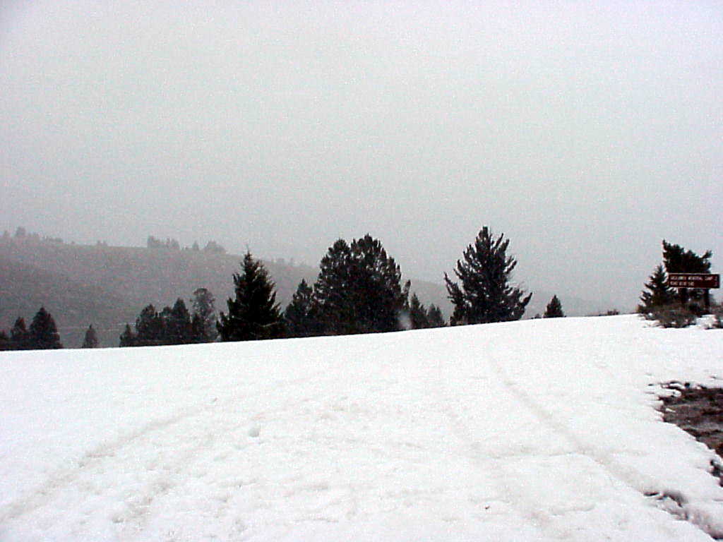
...and then it began to snow...
I eventually had to get out of my rented car (a Ford Escort, no less) when I came up on a two foot snow bank which covered the rutted, dirt trail. I hiked a bit through the snow up to the pass. It was a bit cold. The white streaks on the picture are falling snow.
This is Lemhi Pass (7,373 feet high).
The road at this point is little more than a jeep trail. It eventually goes to Grant, Montana. From the Lewis & Clark journal: "They left reluctantly this interesting spot, and pursuing the Indian road through the interval of the hills, arrived at the top of a ridge, from which they saw high mountains, partially covered with snow, still to the west of them. The ridge on which they stood formed the dividing line between the waters of the Atlantic and Pacific oceans."

This is both sides of the same sign.

The Idaho side...

The Sacajawea (yeah, I know, the spelling changes from place to place) monument is located at the top of this hill. There is snow & ice everywhere.


The is back near Tendoy, Idaho looking at the snow storm I just left.

The only significance of this picture is that it was taken after 9pm. It was still light out. I suddenly remembered how far north I was. This was at the Gilmore Summit on Highway 28 around 7,186 feet.
